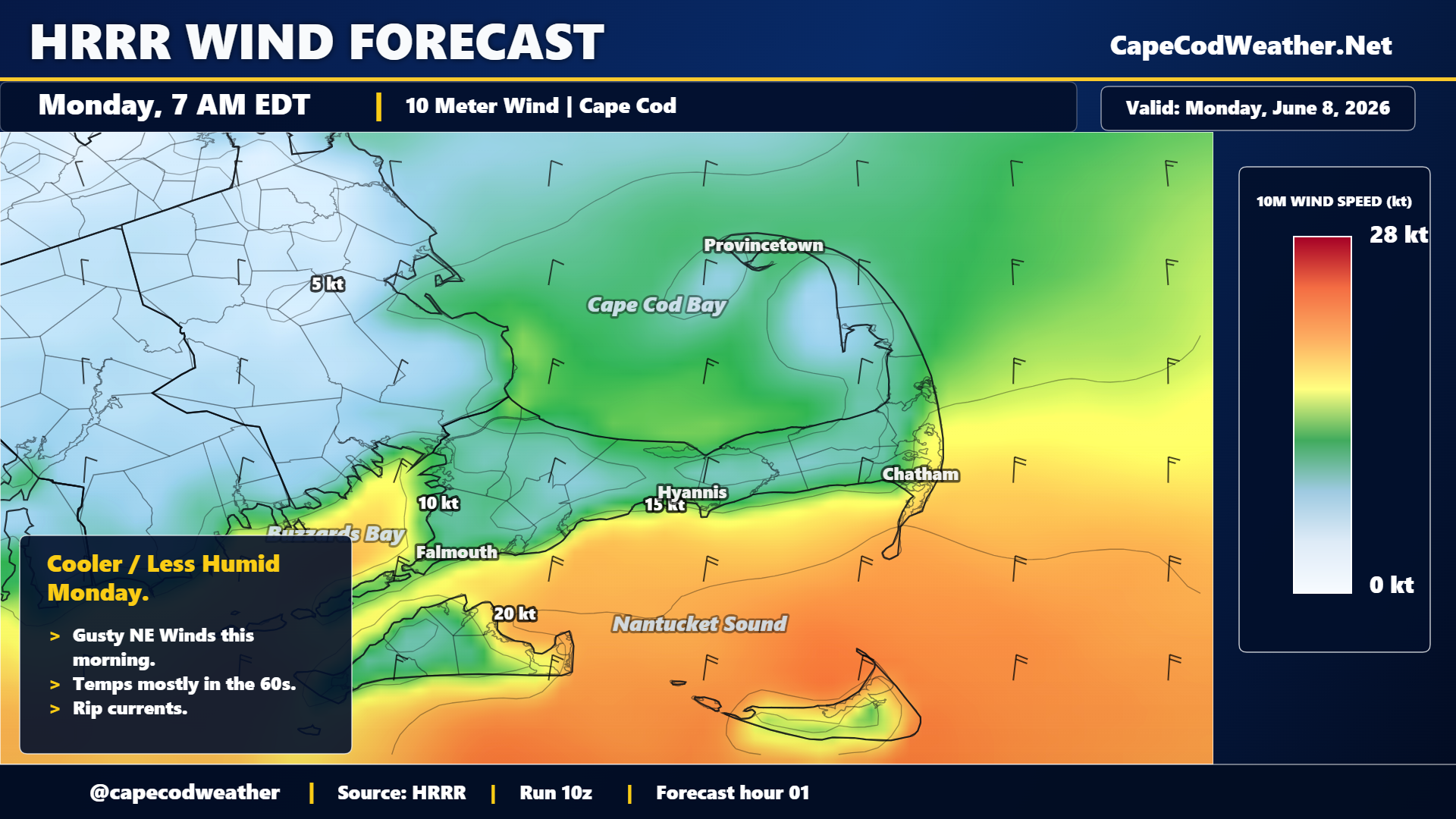
A cold front dropped southward across the area Sunday afternoon and evening, bringing an increase in cloud cover and some passing showers to the area. Behind that frontal zone winds shifted to the north and a surge of cooler and less humid air dropped into the region overnight. That northerly wind – which will be quite gusty through this morning – will persist throughout Monday and cap temperatures in the 60s. Dew point values will hold in the 40s today…and that, combined with lots of sunshine / deep blue sky and temperatures in the 60s will yield an almost fall-like feel. Winds will swing around to the southwest tonight and milder air will return to the area. If you’re headed to the east-facing ocean beaches today, the National Weather Service has issued a Rip Current Statement – use caution if heading into the water.