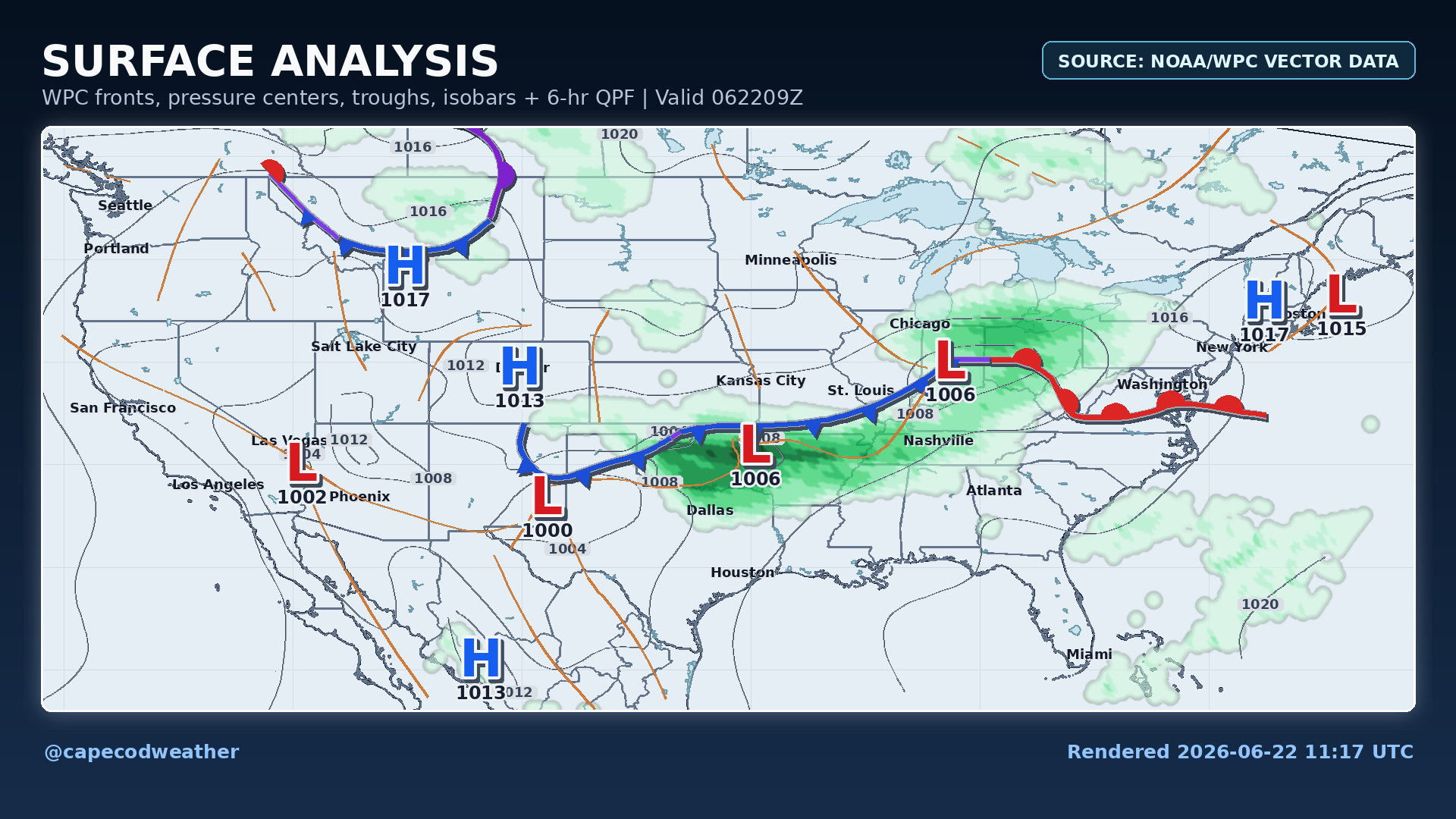
Low pressure located over the Ohio Valley will ride east-northeastward over the next 24 hours, passing through New England tonight and Tuesday. Along and ahead of this feature, a widespread area of showers with embedded thunderstorms will push through the Northeast, bringing some welcomed rain to a fairly large region throughout Monday and part of Tuesday. That said, here on Cape Cod, our highest odds for wet weather won’t arrive until later tonight and Tuesday, when downpours and scattered thunderstorms shift eastward and push across the area. In fact, most of our heavy rain is likely to hold off until Tuesday, while much of the remainder of the Northeast is starting to dry out. With that in mind, Monday’s weather won’t be all that terrible locally. Sunshine will eventually lose out to clouds but most of the day should be dry, with just some late day light showers possible in spots.