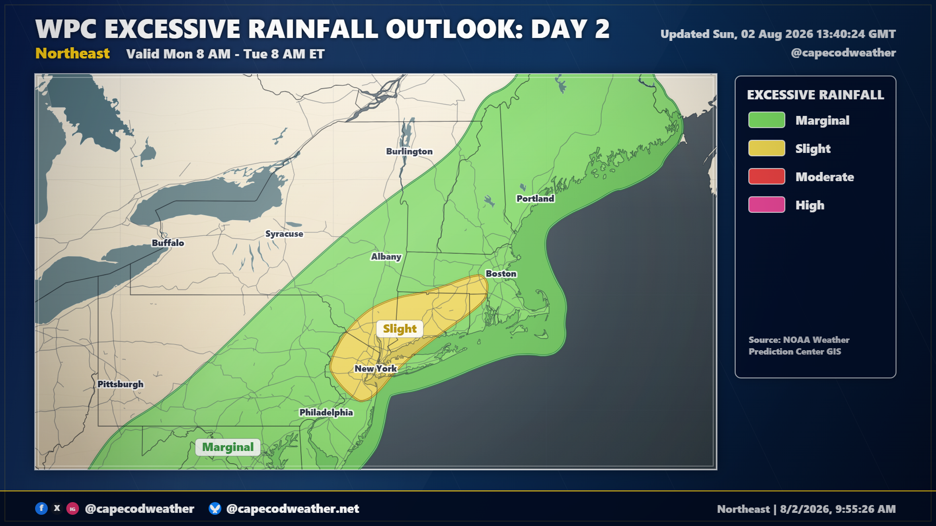
El Nino summers are often stormy/wet in the Mid-Atlantic and Northeast and this year is proving to be no exception. Another slow-moving upper level trough and its accompanying surface boundaries will slide across the area Sunday and Monday, bringing another round of wet weather to the area. We should squeeze out dry weather for most, if not all, of Sunday but clouds will fill the sky at times and it will be rather warm and muggy. Showers should approach the area tonight and continue off and on through the day on Monday. With a soupy air mass in place, some quick downpours with pockets of torrential rain are certainly possible. The National Weather Service has once again highlight much of the Northeast and New England for excessive rainfall, which may result in some areas of flash flooding around the region.