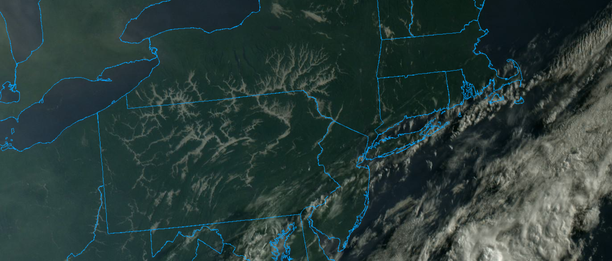
A cold front crossed over the area Monday and Monday night (preceded by some showers and a strong, gusty southerly wind) and temporarily pushed the weekend’s soupy air mass out of the area. Dew point values fell back to the 60s overnight and will hold in the 50s and 60s through the day today. That, combined with sunshine and daytime temperatures in the 80s, will make for a nice early August beach day on the Cape Tuesday. Unfortunately, the break in the humidity will be short-lived as southerly winds will resume late in the day and those southerly winds will signal the return of warmer and more humid air. Dew point values will climb back through the 60s Wednesday and reach into the 70s thereafter…holding at very high levels into next week. In the short-term, the cooler air mass that built into the region overnight combined with lots of left over low level moisture allowed for low clouds and fog to pool up inside the river valleys of the interior northeast…creating a very cool satellite shot first thing this morning.